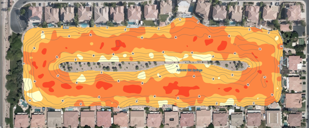
Dredge Diver provides advanced Sonar Mapping Services that deliver accurate underwater and surface data to support informed planning and optimal panel placement. Our high-resolution sonar mapping helps assess depth, contours, and sunlight exposure—ensuring efficient design, performance, and long-term success of your project.
Sonar mapping uses sound wave technology to create detailed maps of underwater topography and waterbody characteristics. By capturing precise depth and contour data, sonar mapping enables accurate assessment of site conditions without disturbing the environment.