Sonar Mapping: Precise Data to Assess Sunlight Exposure and Optimize Panel Placement
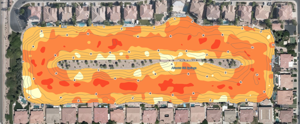
Accurate site data is essential for successful water-based and floating infrastructure projects. Sonar mapping provides precise underwater and surface information that helps assess sunlight exposure, depth, and contours—allowing for optimized panel placement and efficient project planning.
What Is Sonar Mapping?
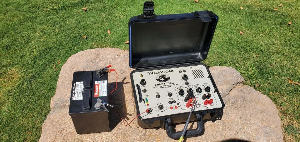
Sonar mapping uses sound wave technology to measure water depth and map underwater topography. By sending sound pulses to the bottom of a water body and analyzing their return, sonar systems create detailed bathymetric maps without disturbing the environment.
Why Sonar Mapping Is Important
Without accurate depth and contour data, project planning can involve guesswork, increasing risks and costs. Sonar mapping delivers reliable insights that support smarter decisions.
Key challenges addressed by sonar mapping include:
Identifying depth variations and underwater obstacles
Assessing sunlight exposure across water surfaces
Determining optimal placement areas for panels or equipment
Supporting accurate design and engineering plans
Benefits of Sonar Mapping
High-Precision Mapping
Sonar technology provides accurate depth and contour data for confident planning.
Optimized Panel Placement
Detailed maps help identify ideal locations based on depth, slope, and sunlight exposure.
Non-Invasive Data Collection
Mapping is performed without draining or disrupting the water body.
Improved Project Efficiency
Accurate data reduces rework, delays, and unexpected challenges during installation.
Supporting Smarter Project Design
With precise sonar mapping, project teams gain a clear understanding of site conditions before installation begins. This data-driven approach leads to better layout planning, improved performance, and long-term operational success.